



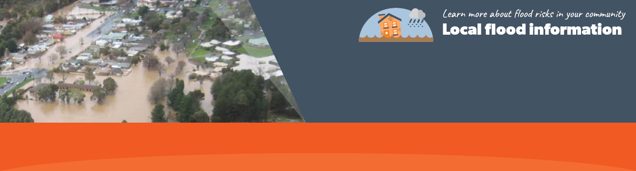
Flood information for the Hepburn Shire Municipality, encompassing local flood guides and a Municipal Emergency Management Plan (MEMP) Flood and Storm Sub-Plan.
Hepburn Flood History
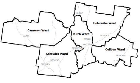
Hepburn Shire Council has a history of flooding including significant flood events in September 2010 and January 2011 which caused extensive damage to homes and businesses throughout the Shire. The townships of Clunes and Creswick were hit the hardest.
The worst recorded floods in Creswick’s recent history are the September 2010 and January 2011 flood events, both classified as major flood events. These flood events occurred following heavy rainfall upstream of Creswick. In contrast the February 2011 event resulted from heavy, localised rainfall, particularly across Sawpit Gully. The January 2011 event caused:
-
Flooding of 90 homes and businesses
-
Flooding of the Castlemaine Road Bridge, restricting access to and from town via the Midland Highway
-
Flooding of the football oval and clubrooms, dental surgery, bowling club, part of a caravan park and the primary school
Clunes Local Flood Guide
Creswick Local Flood Guide
Hepburn Shire MEMP Flood and Storm Sub-Plan
Municipalities can use the Municipal Emergency Management Plan (MEMP) Flood and Storm Sub-Plans to prepare, respond and recover from flood and storm events.
Click the button below to view the MEMP Flood and Storm Sub-Plan.
About Flood Guides
Communities can use local flood guides to identify and better understand their local flood risk. They include information about: flood history, how to prepare & respond to floods and who to contact.
Contact Information


Local SES Units
-
Hepburn Shire VICSES Unit:
Midland Highway,
Daylesford, VIC, 3460
MEMP Flood and Storm Sub-Plan
Hepburn Shire Council Flood Emergency Plan - Updated June, 2020

