



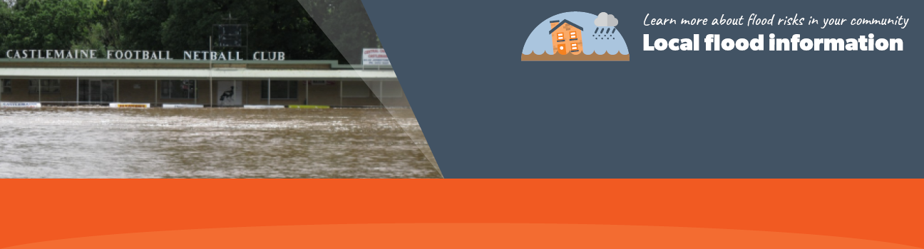
Flood information for the Mount Alexander Shire Municipality, encompassing local flood guides and a Municipal Emergency Management Plan (MEMP) Flood and Storm Sub-Plan.
Mount Alexander Shire Council Flood History
Mount Alexander Shire Council has a history of flooding including a significant flood event in January 2011 which is the highest flood in the municipality on record. The flood/ storm event had a severe impact on all communities in the municipality.
Mount Alexander is typically threatened by flash flooding- short duration, high intensity rainfall, this occurs more frequently between October and March. These rainfall events can cause disturbances to drainage infrastructure and capacity to be reached quickly with very little warning.
The lead time to respond to a flood event may be limited. All households and businesses at risk of flooding should develop an emergency plan and be aware of their flood risk.
Households and businesses should refer to their Local Flood Guide or Mount Alexander Flood Emergency Plan for more information.
Baringhup Local Flood Guide
Castlemaine, Campbells Creek & Chewton Local Flood Guide
Newstead Local Flood Guide
Mount Alexander Shire MEMP Flood and Storm Sub-Plan
Municipalities can use the Municipal Emergency Management Plan (MEMP) Flood and Storm Sub-Plans to prepare, respond and recover from flood and storm events.
Click the button below to view the MEMP Flood and Storm Sub-Plan.
About Flood Guides
Communities can use local flood guides to identify and better understand their local flood risk. They include information about: flood history, how to prepare & respond to floods and who to contact.
Contact Information


North Central.
Local SES Units
- Castlemaine VICSES Unit:
1 Scott's Avenue
Castlemaine, VIC,
3450.
MEMP Flood and Storm Sub-Plan
Mount Alexander Shire Emergency Management Plan - Updated July, 2019.

