


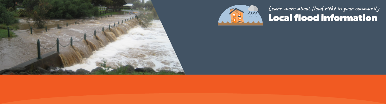
Flood information for the Melton City Council, encompassing local flood guides and a Municipal Flood Emergency Plan.
Melton Flood History
Melton sits predominantly within the Werribee River catchment with tributaries including Toolern Creek, Djerriwarrh Creek, Yangardook River, Arnold Creek and Little Blind Creek. Heavy rainfall can often occur, causing flooding to Arnold Creek which will have impacts on Melton West and Brookfield.
Melton City Council has a history of flooding including a significant flood event in 2011 which impacted a number of creek crossings with the most significant damage to Weir Road.
The lead time to respond to a flood event may be limited. All households and businesses at risk of flooding should develop an emergency plan and beware of their flood risk. Households and business should refer to their Local Flood Guide or Melton City Council Flood Emergency Plan for more information.
Melton West Local Flood Guide
Click the button below to view the Local Flood Guide, which includes information about the local flood risk and how you can prepare for and respond effectively to floods.
Melton City Council Flood and Storm Emergency Plan
Municipalities can use Municipal Flood and Storm Emergency Plans to prepare, respond and recover from flood and storm events.
Click the button below to view the Municipal Flood and Strom Emergency Plan.
About Flood Guides
Communities can use local flood guides to identify and better understand their local flood risk. They include information about: flood history, how to prepare & respond to floods and who to contact.
Contact Information


Local SES Units
- Melton VICSES Unit:
90-92 High Street,
Melton, Victoria
Municipal Flood and Storm Plan
Melton Municipal Storm and Flood Emergency Plan - Updated March, 2022.