


Corangamite Shire
Corangamite Flood History
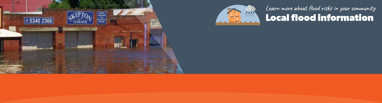
Corangamite Shire has a history of flooding including a significant flood event in January 2011 which impacted the township of Skipton and vast extents of rural areas resulting in extensive damage.The key waterways which impact the Corangamite Shire are the Mt Emu creek and the Curdies River. The lead time to respond to a flood event may be limited. All households and businesses at risk of flooding should develop an emergency plan and beware of their flood risk.
Skipton Local Flood Guide
Corangamite Shire Flood and Storm Emergency Plan
Municipalities can use Municipal Flood and Storm Emergency Plans to prepare, respond and recover from flood and storm events.
Click the button below to view the Municipal Flood and Strom Emergency Plan.
About Flood Guides
Communities can use local flood guides to identify and better understand their local flood risk. They include information about: flood history, how to prepare & respond to floods and who to contact.
Contact Information


Local SES Units
-
Lismore VICSES Unit
7 Ferrers Street,
Lismore, VictoriaCamperdown VICSES Unit
4 Bowyer St,
Camperdown, Victoria -
Terang VICSES Unit
27 Baynes Street,
Terang, Victoria -
Cobden VICSES Unit
32 Silvester Street,
Cobden, Victoria -
Port Campbell VICSES Unit
19 Desailly Street,
Port Campbell, Victoria