


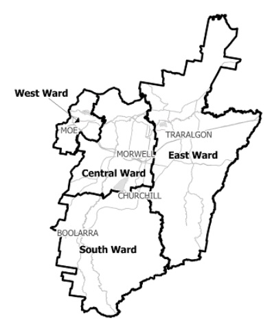
Flood information for the Latrobe City Council, encompassing local flood guides and a Municipal Flood Emergency Plan.
Latrobe Flood History
Latrobe City Council has a history of flooding including significant flood events in June 2012,
November 1995, September 1993, June 1978, June 1952, February and August 1951 and December 1934. The flood event of September 1993 resulted in flooding above floor to 24 residential and three commercial properties and caused extensive damage to vast extents of rural areas.
The Traralgon Creek Catchment upstream of Traralgon is characterised by steep, heavily forested valleys which can result in a rapid rises and high rates of runoff in the catchment.
One of the predominant riverine flooding risks in Latrobe Shire is the township of Traralgon.
Short duration, high intensity rainfall (usually associated with thunderstorms) can also cause flash flooding throughout Latrobe Shire including in Traralgon.
The Bureau of Meteorology provides flood warning services for river systems within Latrobe Shire including for the Traralgon Creek at the Traralgon gauge.
Due to the highly variable nature of flooding within Traralgon Creek, the lead time to respond to a flood event may be limited. All households and businesses at risk of flooding should develop an emergency plan and beware of their flood risk.
Traralgon Local Flood Guide
Latrobe City Council Flood and Storm Emergency Plan
Municipalities can use Municipal Flood and Storm Emergency Plans to prepare, respond and recover from flood and storm events.
Click the button below to view the Municipal Flood and Strom Emergency Plan.
About Flood Guides
Communities can use local flood guides to identify and better understand their local flood risk. They include information about: flood history, how to prepare & respond to floods and who to contact.
Contact Information


Local SES Units
- Moe VICSES Unit:
265 Monash Road,
Newborough, Victoria 3825
Morwell VICSES Unit:
75 Airfield Rd,
Morwell, Victoria 3840
Municipal Flood and Storm Plan
Latrobe City Flood Emergency Plan - Updated Sep, 2013.