


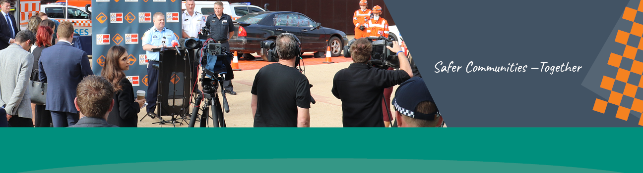
Community Flood Exercise
Victoria State Emergency Service (VICSES) hosted a multi-agency flood exercise on Saturday 6 April. The purpose of the exercise was to raise awareness of flood risk within Port Fairy and demonstrate flood intelligence and flood mapping resources available.
VICSES were joined by members of the Victoria Police, Country Fire Authority, Moyne Shire Council, Department of Health and Human Services, Glenelg Hopkins Catchment Management Authority and Wannon Water.
The day consisted of flood scenarios, sandbag training, sandbag demonstrations and a presentation on community flood risks.
Exercises like this are a great way to showcase how the community can come together in order to create awareness and understanding of the collaborative efforts required to protect the community from possible flooding.
Quotes attributable to: Alistair Drayton, South West Regional Manager.
“We are very happy with the response from our local VICSES Units and representatives from the Moyne Shire Council, Glenelg Hopkins CMA, CFA, Vic Roads, DHHS, Wannon Water and Red Cross. Flooding occurs so infrequently, and given that recent flood events in Port Fairy have been very small with little damages, we thought it was important to undertake a flood training exercise to raise awareness of the flood risks, to build flood preparedness, and ultimately community resilience”
Quotes attributable to: Brent Smith, Wannon Water’s OHS and Emergency Management Coordinator.
“The event was valuable and reinforced the importance that Wannon Water placed on protecting its assets. Exercises such as this allow us to work hand-in-hand with other agencies to enhance our knowledge. They also provide an opportunity to improve our performance in responding to real events”.
Quotes attributable to: Hannah Torney, Port Fairy Unit Officer.
“There are significant damages to Port Fairy during a major flood, more than 180 houses isolated and 40 buildings flooded above floor. Having access to flood maps is critical to guiding were sandbagging is needed and for communicating with the community where the flood water will go before the flood arrives.”