


Alpine Shire Flood History
Alpine Shire Council has a history of flooding including a significant flood
event in October 1993 which impacted the townships of Bright, Harrietville, Kiewa Valley, Myrtleford and vast rural areas, resulting in extensive damage to homes, infrastructure and the community. Significant flood events also occurred in 1998, 2010 and to a lesser extent, 2016.
Flooding usually occurs as a result of moderate to heavy rainfall across the municipality causing breaching of the Ovens and Kiewa Rivers. The onset of flooding is usually rapid due to the steep slopes of the surrounding ranges and often causes isolation due to closure of the Great Alpine Road.
The lead time to respond to a flood event in the Alpine Shire may be limited. All households and businesses at risk of flooding should beware of their specific flood risk and develop an emergency plan.
Households and business should refer to the Myrtleford Local Flood Guide (available in English and Italian) or Municipal Flood Emergency Plan for more information.
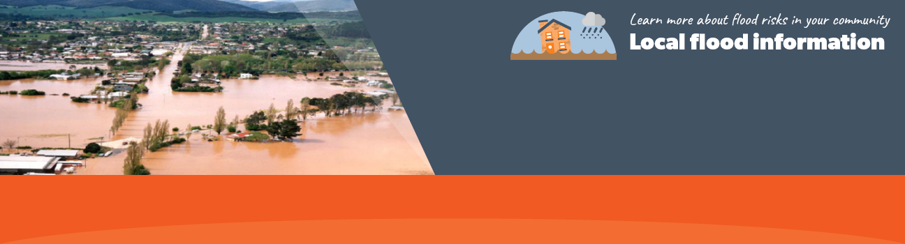
Alpine Shire Local Flood Guide
Click the button below to view the Local Flood Guide, which includes information about the local flood risk and how you can prepare for and respond effectively to floods.
Alpine Shire Flood and Storm Emergency Plan
Municipalities can use Municipal Flood and Storm Emergency Plans to prepare, respond and recover from flood and storm events.
Click the button below to view the Municipal Flood and Strom Emergency Plan.
About Flood Guides
Communities can use local flood guides to identify and better understand their local flood risk. They include information about: flood history, how to prepare & respond to floods and who to contact.
Contact Information


Local SES Units
- Bright VICSES Unit:
Churchill Avenue,
Bright, Victoria
Myrtleford VICSES Unit:
Jubilee Street
Myrtleford, Victoria
Municipal Flood and Storm Plan
Alpine Shire Flood Emergency Plan - Updated March, 2026