


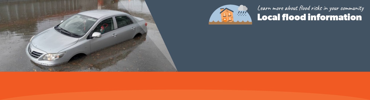
Flood information for City of Casey, encompassing local flood guide and Municipal Flood Emergency Plan.
City of Casey Flood History
Casey City Council has a history of flooding. there was flooding 2010, 2011 and 2012 that resulted in road closures, damage to public and private property and rehousing of people and animals.
On 4 February 2011, 180 millimetres of rain fell at Lynbrook over a 24 hour period. During floods, a number of essential services are at risk in the City of Casey, including:
-
The Main Arterial Roads may be closed for some time until the flood waters recede. The following roads have been closed in previous flood events: Heatherton Road, Princes Highway, Hallam South Road, Narre Warren-Cranbourne Road, South Gippsland Highway and Clyde Road
-
The Pakenham Train Line may be closed due to floodwater at multiple points in Hallam and Narre Warren including immediately east of Narre Warren Station
-
Access to Casey Hospital may be restricted to four wheel drive vehicles and trucks for a period due to overland flows along Kangan Drive in a flash flood.
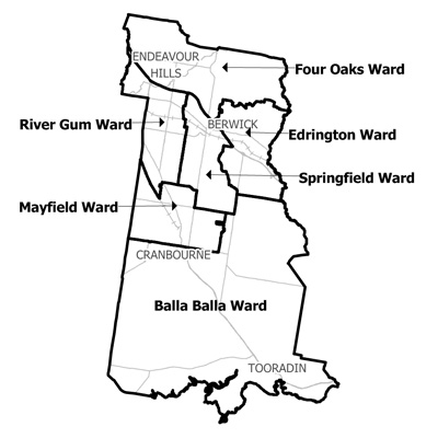
City of Casey Local Flood Guide
This guide is relevant for residents of
|
|
|
Click the button below to view the Local Flood Guide, which includes information about the local flood risk and how you can prepare for and respond effectively to floods.
City of Casey Flood and Storm Emergency Plan
Municipalities can use Municipal Flood and Storm Emergency Plans to prepare, respond and recover from flood and storm events.
Click the button below to view the Municipal Flood and Strom Emergency Plan.
About Flood Guides
Communities can use local flood guides to identify and better understand their local flood risk. They include information about: flood history, how to prepare & respond to floods and who to contact.
Contact Information


Local SES Units
-
Narre Warren VICSES Unit
36A Vesper Drive,
Narre Warren, Victoria.
Municipal Flood and Storm Plan
Casey Municiple Storm and Flood Emergency Plan - Updated Feb, 2018.