


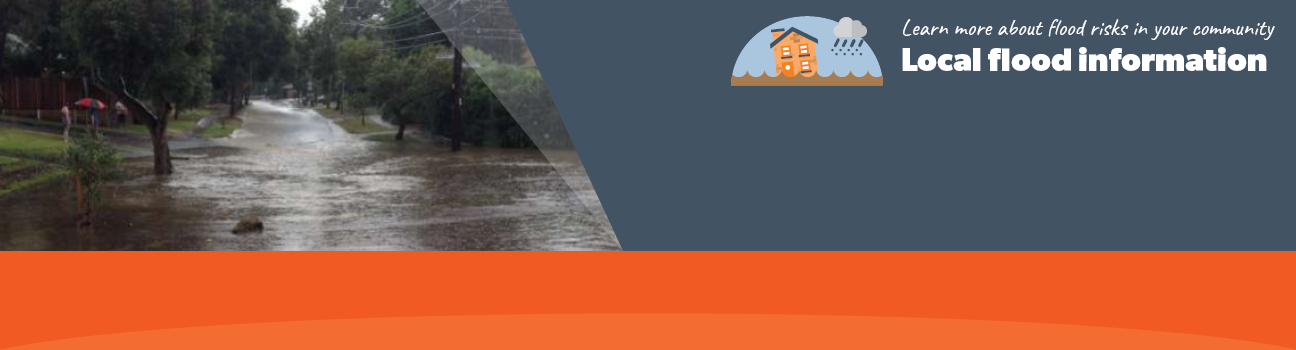
Flood information for the City of Banyule, encompassing local flood guide and Storm and Flood Emergency Plan.
City of Banyule Flood History
The City of Banyule is approximately 63 square kilometres in size and lies to the north-east of central Melbourne. There are 21 suburbs within the city and the population is approximately 121,000.
The municipality contains or is bounded by a large number of waterways ranging in size from the Yarra River to small unnamed creeks. The three largest waterways are the Yarra River, Darebin Creek and the Plenty River.
Banyule is a flood-prone area. When there is a big storm, it can flood quickly and with little warning.
Salt Creek is one such example and runs in a southerly direction through the centre of the City of Banyule, flowing into the Yarra River at Heidelberg. The creek flows through the suburbs of
Rosanna and Macleod.
Rosanna and Macleod Local Flood Guide
We are currently updating this Local Flood Guide using the latest flood modelling from Melbourne Water. A new version will be available in the first half of 2027. In the meantime, please use this guide to help you prepare for a flood in your area.
For further information, please visit Melbourne Water’s Banyule flood mapping page.
City of Banyule Flood and Storm Emergency Plan
Municipalities can use Municipal Flood and Storm Emergency Plans to prepare, respond and recover from flood and storm events.
Click the button below to view the Municipal Flood and Strom Emergency Plan.
About Flood Guides
Communities can use local flood guides to identify and better understand their local flood risk. They include information about: flood history, how to prepare & respond to floods and who to contact.
Contact Information


Local SES Units
- Nillumbik VICSES Unit:
58 Susan Street
Eltham, Victoria
- VICSES Heidelberg Unit:
- 446 Waterdale Road
Heidelberg Heights, Victoria
Municipal Flood and Storm Plan
City of Banyule Storm & Flood Emergency Plan - Updated June 2022.