


Flood information for the Frankston City Council, encompassing local flood guide and Storm and Flood and Emergency Plan.
Frankston Flood History
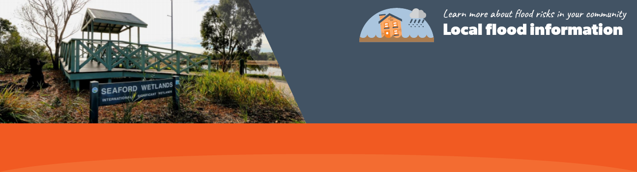
This area is prone to flash flooding during heavy rainfall events that can result in road closures and effect private properties. This guide provides an overview of the risk of flood and includes information that can help you to be more prepared in case of an emergency. This guide focusses on the coastal suburbs of Frankston and Seaford that are located within the City of Frankston, approximately 40 kilometres south from Melbourne’s Central Business District.
Historically, several major floods have affected people living in this area. In the December 1988 floods, the water level reached 4.10 metres at Skye Road Frankston. More recently in the October 2010 floods, water levels reached up to 2.71 metres.
Frankston and Seaford Local Flood Guide
Frankston City Council Flood and Storm Emergency Plan
Municipalities can use Municipal Flood and Storm Emergency Plans to prepare, respond and recover from flood and storm events.
Click the button below to view the Municipal Flood and Strom Emergency Plan.
About Flood Guides
Communities can use local flood guides to identify and better understand their local flood risk. They include information about: flood history, how to prepare & respond to floods and who to contact.
Contact Information


Local SES Units
- Frankston VICSES Unit
6 McMannis Way,
Seaford, Victoria
Municipal Flood and Storm Plan
Frankston Municipal Storm and Flood Emergency Plan - Updated March, 2023.