


Flood information for the Moorabool Shire Council, encompassing local flood guides and a Municipal Flood Emergency Plan.
Moorabool Shire Council Flood History
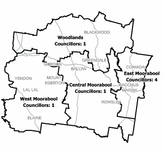
Moorabool Shire has a history of flooding including flooding from rivers and creeks overflowingafter prolonged rainfall (riverine) and also to flash flooding after high intensity rainfall often associated with thunderstorms.
Bacchus Marsh experienced a significant flood event in November 1995 when the Werribee River broke its banks, flooding low lying parts of the town and surrounding farmland.
More recently, Bacchus Marsh suffered flash flooding five times in 2010-2011 following local heavy rain, causing extensive damage.
The lead time to respond to a flood event may be limited. All households and businesses at risk of flooding should develop an emergency plan and beware of their flood risk.
Bacchus Marsh Local Flood Guide
Ballan and Gordon Local Flood Guide
Click the button below to view the Local Flood Guide, which includes information about the local flood risk and how you can prepare for and respond effectively to floods.
Moorabool Shire Council Flood and Storm Emergency Plan
Municipalities can use Municipal Flood and Storm Emergency Plans to prepare, respond and recover from flood and storm events.
Click the button below to view the Municipal Flood and Strom Emergency Plan.
About Flood Guides
Communities can use local flood guides to identify and better understand their local flood risk. They include information about: flood history, how to prepare & respond to floods and who to contact.
Contact Information


Local SES Units
- Bacchus Marsh VICSES Unit:
- 11 Gisborne Road,
Bacchus Marsh, Victoria
Municipal Flood and Storm Plan
Moorabool Shire Flood Emergency Plan - Updated November, 2020.