


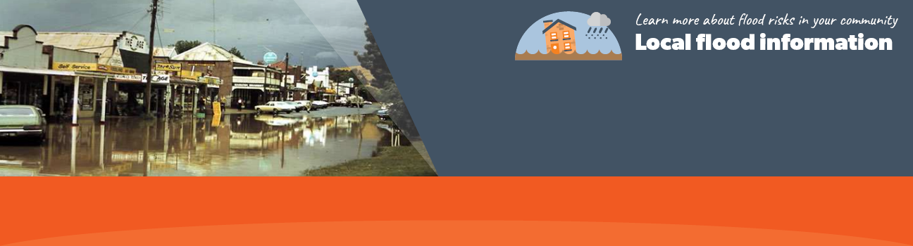
Flood information for the Murrindindi Shire Council, encompassing local flood guides and a Municipal Flood Emergency Plan.
Murrindindi Shire Council Flood History
Most of the Murrindindi Shire is hilly with some major mountains within the area, making
some areas vulnerable to flash flooding after heavy rain in the steep upper catchments.
The major water course travelling through the Murrindindi Shire area is the Lower Goulburn River from Lake Eildon (near Eildon township) to Trawool near Seymour. The Yea River, Murrindindi River, Boundary Creek, Acheron River, Rubicon River and King Parrot Creek are other waterways in this section of the Goulburn River catchment.
Lake Eildon (often referred to as Eildon Weir) is located on the eastern boundary of the Shire. Built in 1956, it controls most water flows of the Upper Goulburn River for irrigation. Although not designed for flood mitigation, it has reduced the impact and frequency of minor to moderate flooding along the Lower Goulburn River
The Goulburn River floodplain between Eildon and Trawool starts to experience localised flooding in low-lying areas along the river floodplain when the Goulburn River reaches minor flood level.
Yea township holds Murrindindi Shire’s longest history of flooding, including significant flood events from the Yea River in 1934, 1974, 1989, 1996 and 2010. The 1934 then 1974 floods are known to be the town’s largest with 1989‘s flood being the highest recorded at 4.30m at Devlin’s Bridge gauge.
In the Yea area:
-
Flash flooding can occur after very heavy rain or thunderstorms at any time of year
-
Flooding often happens within the township due to overland flows as floodwater travels across the land, along roads and across rural farmland
-
The fast-flowing Yea River and Murrindindi River can result in floodwater reaching Yea in about 12 hours
-
Flooding often lasts from 1-3 days in the township, longer in low-lying or rural areas
-
Significant flooding in Yea also accompanies widespread flooding of farmland along the Yea River and Frogponds area and usually results in damage to rural properties and the closing of the Goulburn Valley Highway in several places
-
The Yea Caravan Park has often been affected during floods.
Yea Local Flood Guide
Click the button below to view the Local Flood Guide, which includes information about the local flood risk and how you can prepare for and respond effectively to floods.
Murrindindi Shire Council Flood and Storm Emergency Plan
Municipalities can use Municipal Flood and Storm Emergency Plans to prepare, respond and recover from flood and storm events.
Click the button below to view the Municipal Flood and Strom Emergency Plan.
About Flood Guides
Communities can use local flood guides to identify and better understand their local flood risk. They include information about: flood history, how to prepare & respond to floods and who to contact.
Contact Information


Murrindindi Shire Council website.

Local SES Units
- Alexandra VICESES Unit:
Lot 2, 7 Shamrock Street,
Alexandra.
Kinglake VICESES Unit:
2983 Heidelberg-Kinglake Road, Kinglake.
Municipal Flood and Storm Plan
Murrindindi Shire Council Flood Emergency Plan - Updated Dec, 2020