


Pyrenees Shire Council Flood History
While there is limited information on flood risk within the Municipality, the floods of late 2010 and January 2011 demonstrated that parts of the Pyrenees Shire are susceptible to substantial inundation during large flood events including Beaufort, Avoca, Natte Yaloak and Lexton.
Beaufort and Lexton can experience flash flooding which can happen during a very short period of time; households are reminded that preparation is vital to reduce the impact of flash flooding. Avoca and Natte Yaloak may experience riverine flooding where due to rainfall; the creek has reached capacity, flooding low lying and areas close to the waterway.
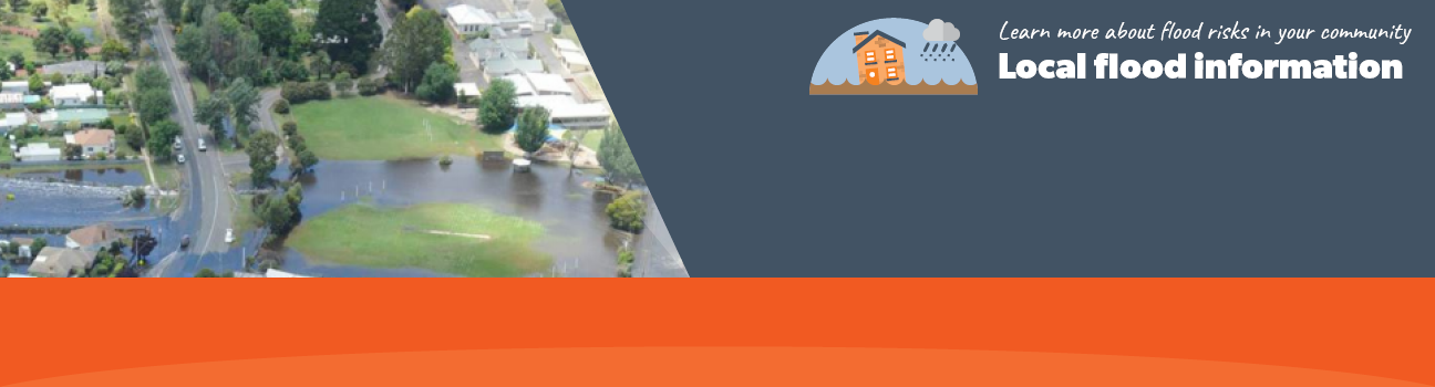
In January 2011, Beaufort received record rainfall of 96.8mm in less than 12 hours which caused the Western Highway to close in four sections, 23 buildings to flood over their floor levels, evacuations through the town and many local facilities to be inundated including Bicentennial Park.
The lead time to respond to a flood event may be limited. All households and businesses at risk of flooding should develop an emergency plan and beware of their flood risk.
Beaufort Local Flood Guide
Pyrenees Shire Council Flood and Storm Emergency Plan
Municipalities can use Municipal Flood and Storm Emergency Plans to prepare, respond and recover from flood and storm events.
Click the button below to view the Municipal Flood and Strom Emergency Plan.
About Flood Guides
Communities can use local flood guides to identify and better understand their local flood risk. They include information about: flood history, how to prepare & respond to floods and who to contact.
Contact Information


Glenelg Hopkins.
Local SES Units
- Ararat VICSES Unit:
85-87 High Street,
Ararat. - Ballarat VICSES Unit:
115A Gillies Street,
Ballarat.
Municipal Flood and Storm Plan
Pyrenees Shire Council Storm and Flood Emergency Plan - Updated March , 2020