Mitchell Shire Council

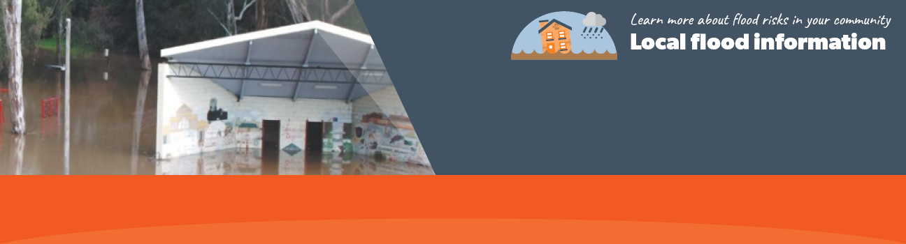
Flood information for the Mitchell Shire Council, encompassing local flood guides and a Municipal Flood Emergency Plan.

On this page:


Mitchell Shire municipal map
Micthell Shire municipal map.

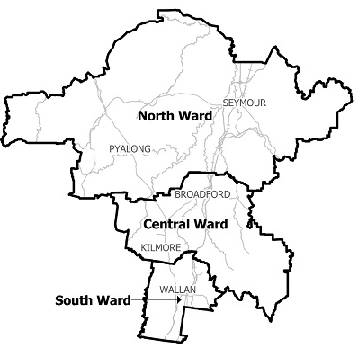
The Mitchell Shire Council area sits within the Goulburn River flood plain and is at risk of significant
flooding. For example, Seymour has experienced a number of major floods.

Floods in 1847, 1870 and 1916-1917 caused the town’s commercial centre to be moved three times.

The Goulburn River catchment which drains towards Seymour includes:

  • Sunday Creek
  • Whiteheads Creek
  • King Parrot Creek
  • Yea River
  • Murrindindi River
  • Home Creek
  • Acheron River
  • Rubicon River
  • Lake Eildon

At Seymour, Whiteheads Creek joins the Goulburn River near Wallis Street. Sunday Creek joins the Goulburn River near Emily Street. Flood Watches or Flood Warnings for the Goulburn Broken Catchment apply to these areas.


Are you at risk of flood?

Mitchell Shire flood gauge table
   Click to enlarge.

Floods in Seymour can be caused by flooding from the Goulburn River, Sunday Creek and Whiteheads Creek.

Seymour can flood from one waterway at a time or they can all flood at the same time, making predicting exactly what will happen difficult.

Around Seymour, Goulburn River flooding usually lasts one to three days. When flooding occurs, areas affected include low-lying farms and parkland near the river, areas to the south and north of the town, Kings Park, Eliza Street, Station Street, Ekbergs Road, the Hume Freeway floodplain and Northwood Road.

Eildon Weir built in 1956 controls most of the water flow into the Goulburn River and although not designed for flood mitigation, it has reduced the impact and frequency of minor to moderate flooding in Seymour. Heavy rain around Seymour often causes flash flooding along Whiteheads Creek and other low-lying areas.

Flash flooding happen so quickly and can move so fast that there may no time to warn you. There is unlikely to be any information on when flash flooding will happen or how deep it will be.

In the Seymour area, flash flooding may only last a few hours but can affect areas around Oak, Wimble and Delatite Streets and areas adjoining the Goulburn River. Delatite Road and Emily Street can remain impassable due to flooding for up to one day. 

The table to the right can give you an indication of what might happen at certain gauge heights in Seymour, including when your access may be cut off and when your property may be affected.

About Flood Guides

Communities can use local flood guides to identify and better understand their local flood risk. They include information about: flood history, how to prepare & respond to floods and who to contact.

Contact Information

For more information, contact the  Hume (North East) Region Headquarters.
For information on flood warnings, see the VicEmergency website.
Your local Catchment Mangement Authority: Goulburn Broken.

Local VICSES Units

Seymour VICSES Unit:
115 Wimble Street,
Seymour

Kilmore VICSES Unit:
24 Green St,
Kilmore

Municipal Flood Emergency Plan (MFEP)

Municipalities can use Municipal Flood Emergency Plans to prepare, respond and recover from flood and storm events.
Mitchell Shire Emergency Flood Plan - Updated Nov, 2018